I crossed the Delaware today!
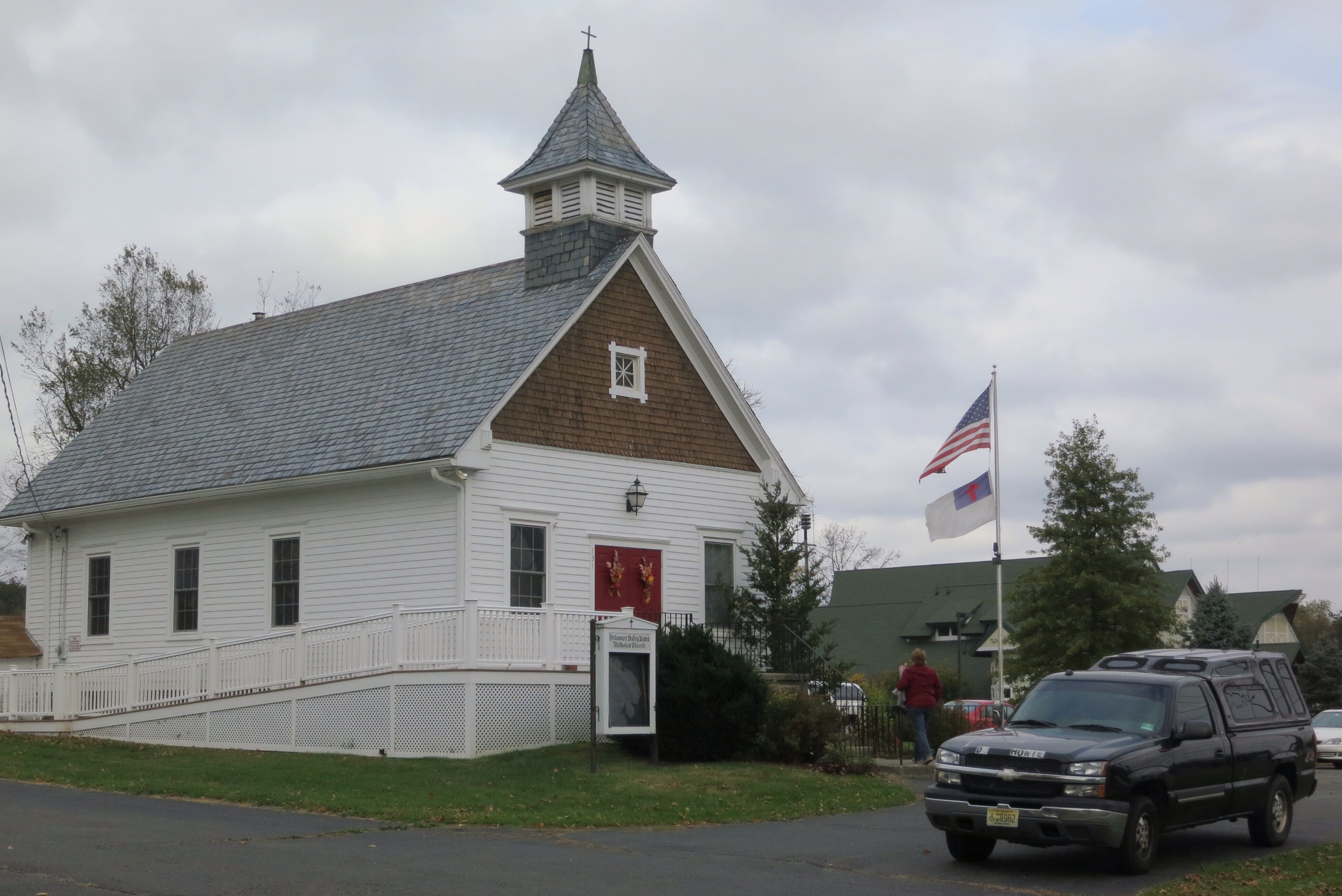
I was out of the parsonage by 9:15 this morning and headed down the road a tenth of a mile to the UMC church. Recall that this is Pastor Dave’s second church. He was there to conduct the service and it was lovely. He had a little lesson for the children in which he got me to go the front with my cart — great fun!
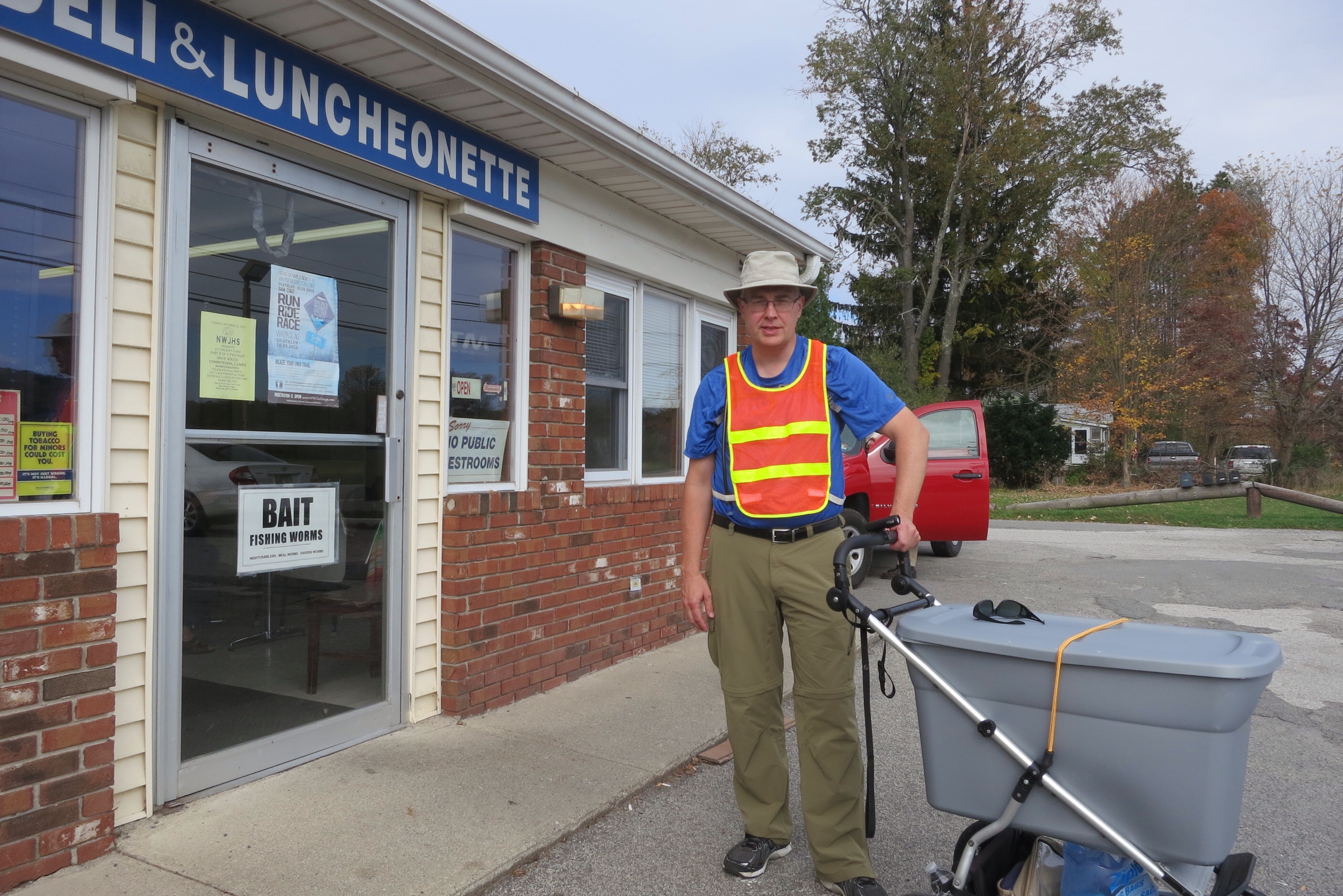
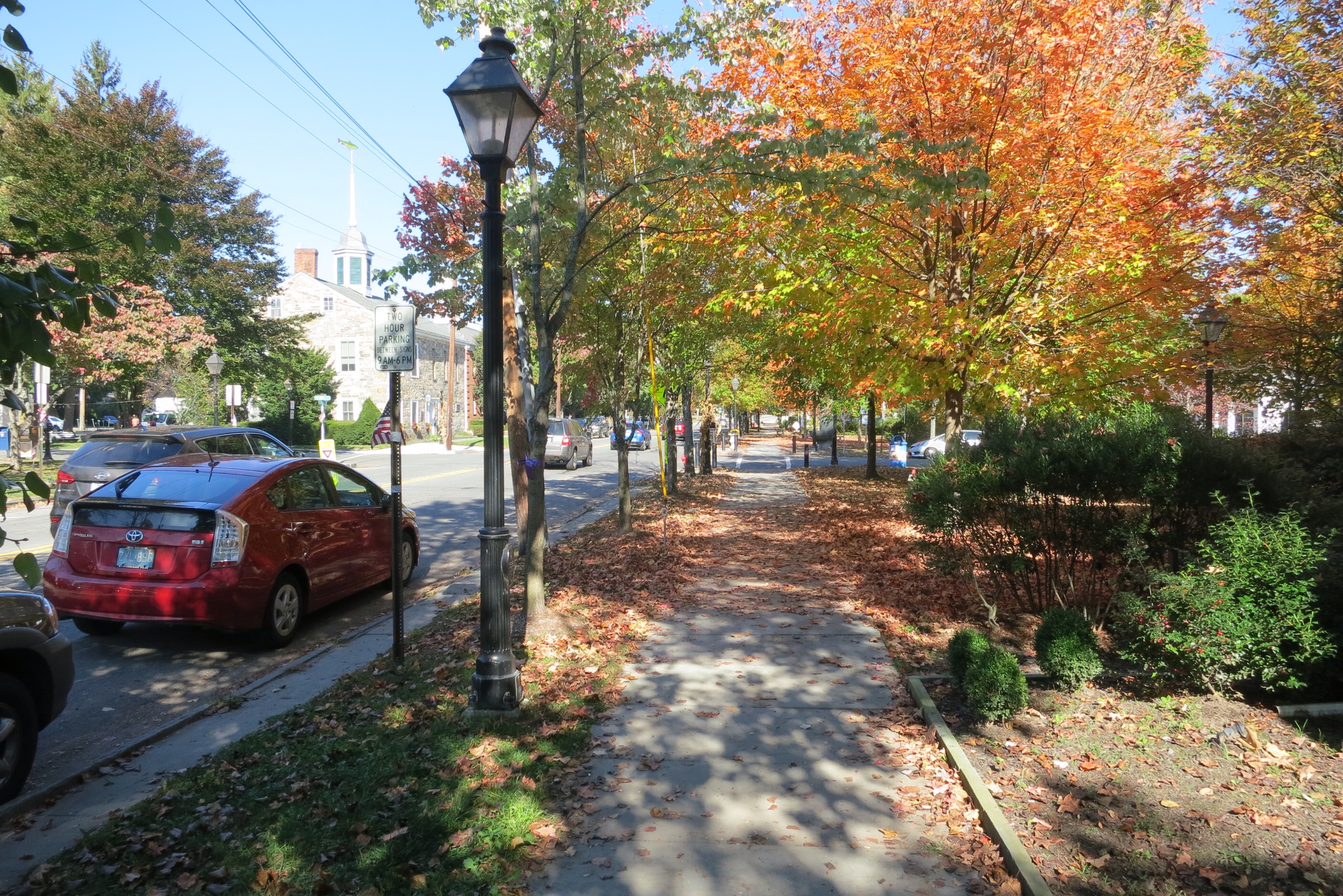
Tom and Bonnie were there so we had breakfast at the nearby (500 feet away) Deli. They seem to know everyone in town. One of the workers there is a niece of Alan and Deloris Schetelich!
Bob Dadd said he would like more pictures with me in them. OK, here’s one, after breakfast:
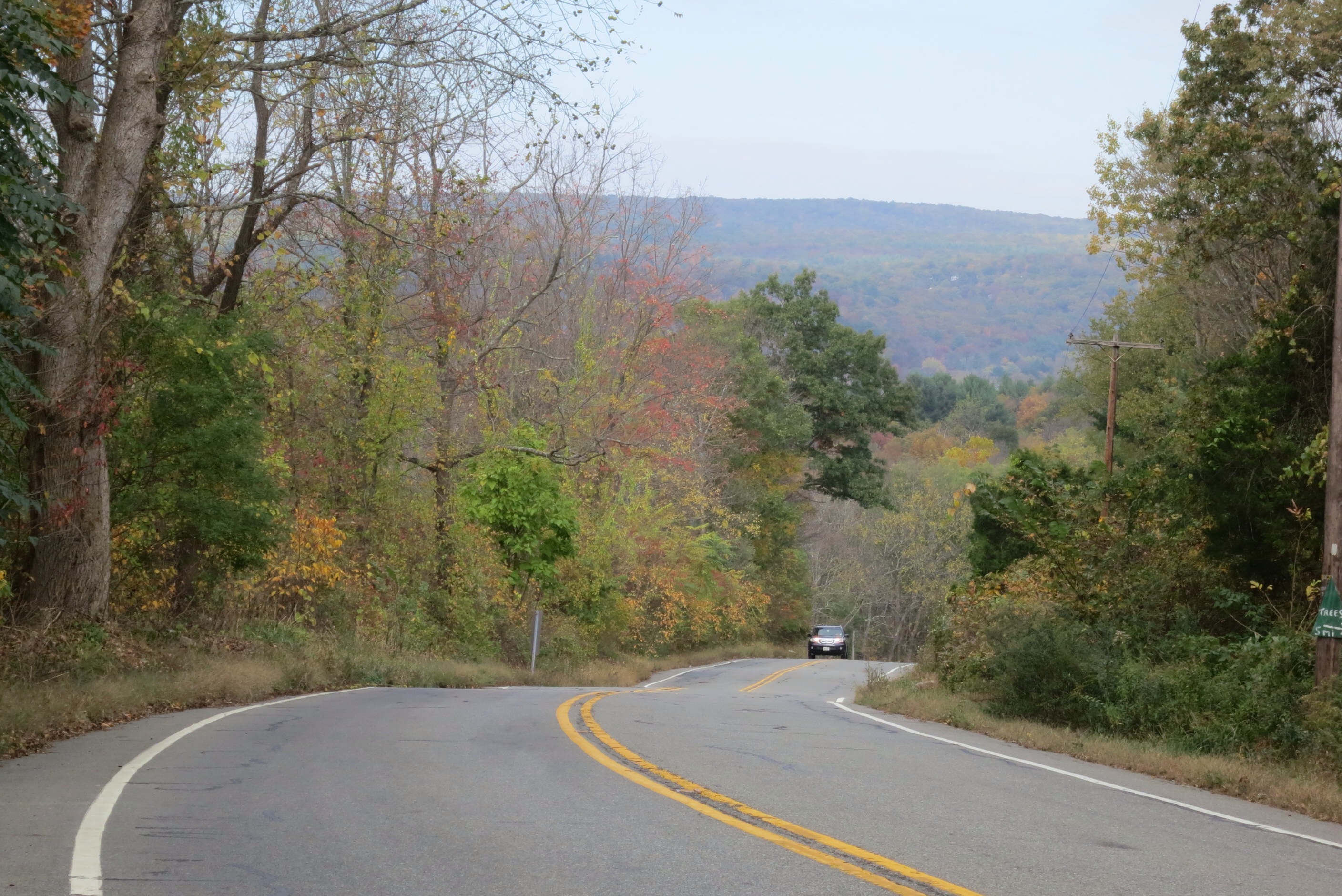
So I got a late start to my walking, at about 11:30. With high spirits, I headed for the Delaware River crossing, the one that leads into Milford, not Dingman’s Ferry (see yesterday’s post for the reason for this choice). It was pretty level for a while and then sudddenly started to descend into the river valley:
When I saw this sign I started wondering how they would collect my toll:
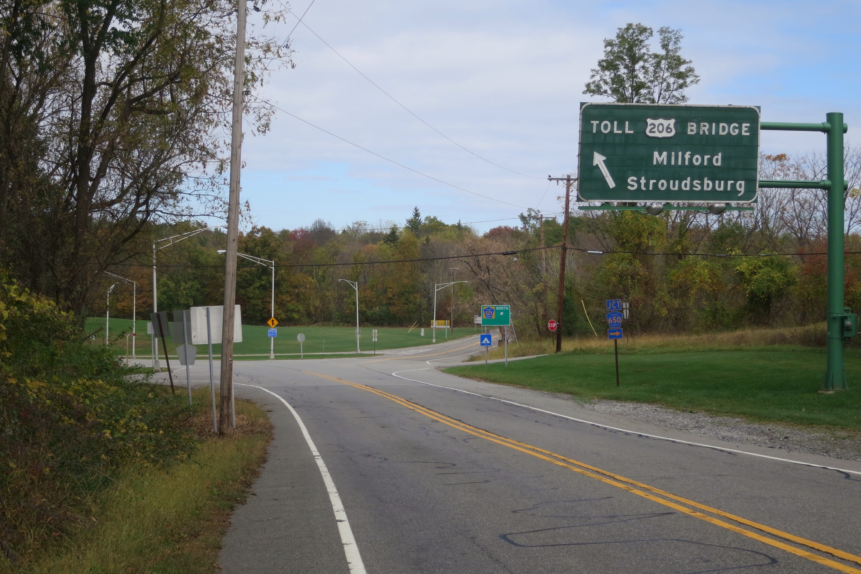
Am I a car?

Rats — I should have brought my EZ-Pass!

Is that a footpath I see to the right of the bridge?
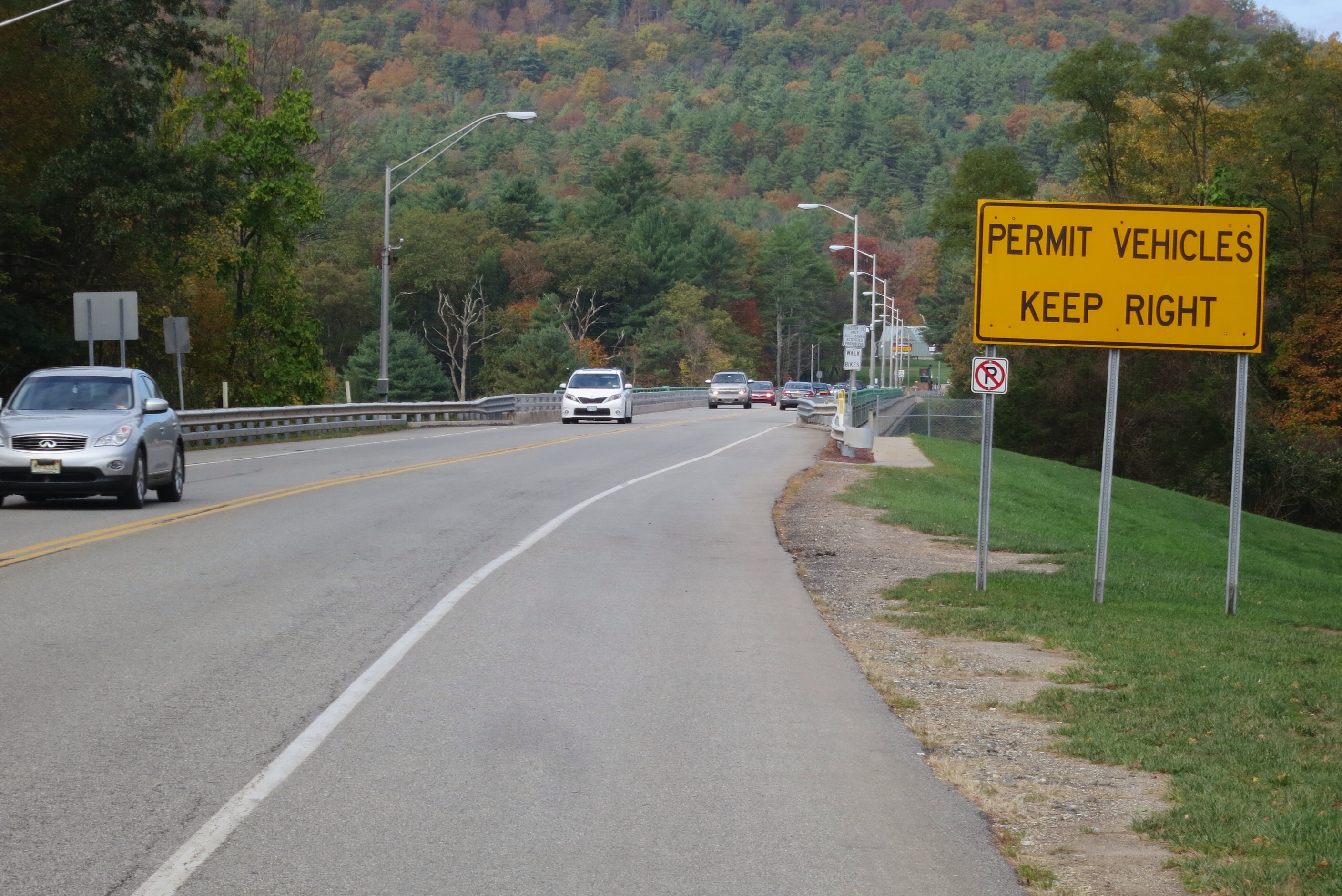
Indeed! And I even got the right river!
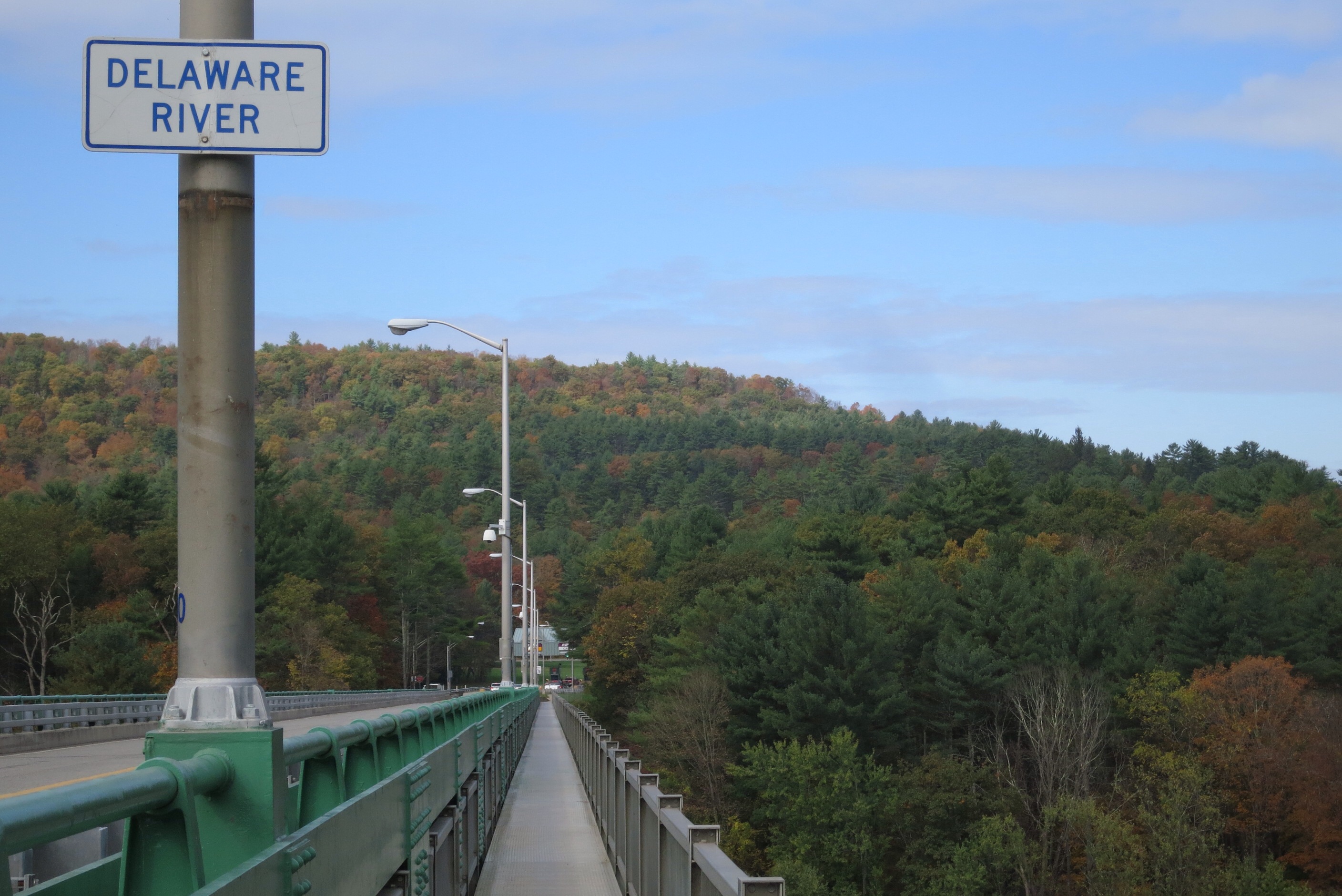
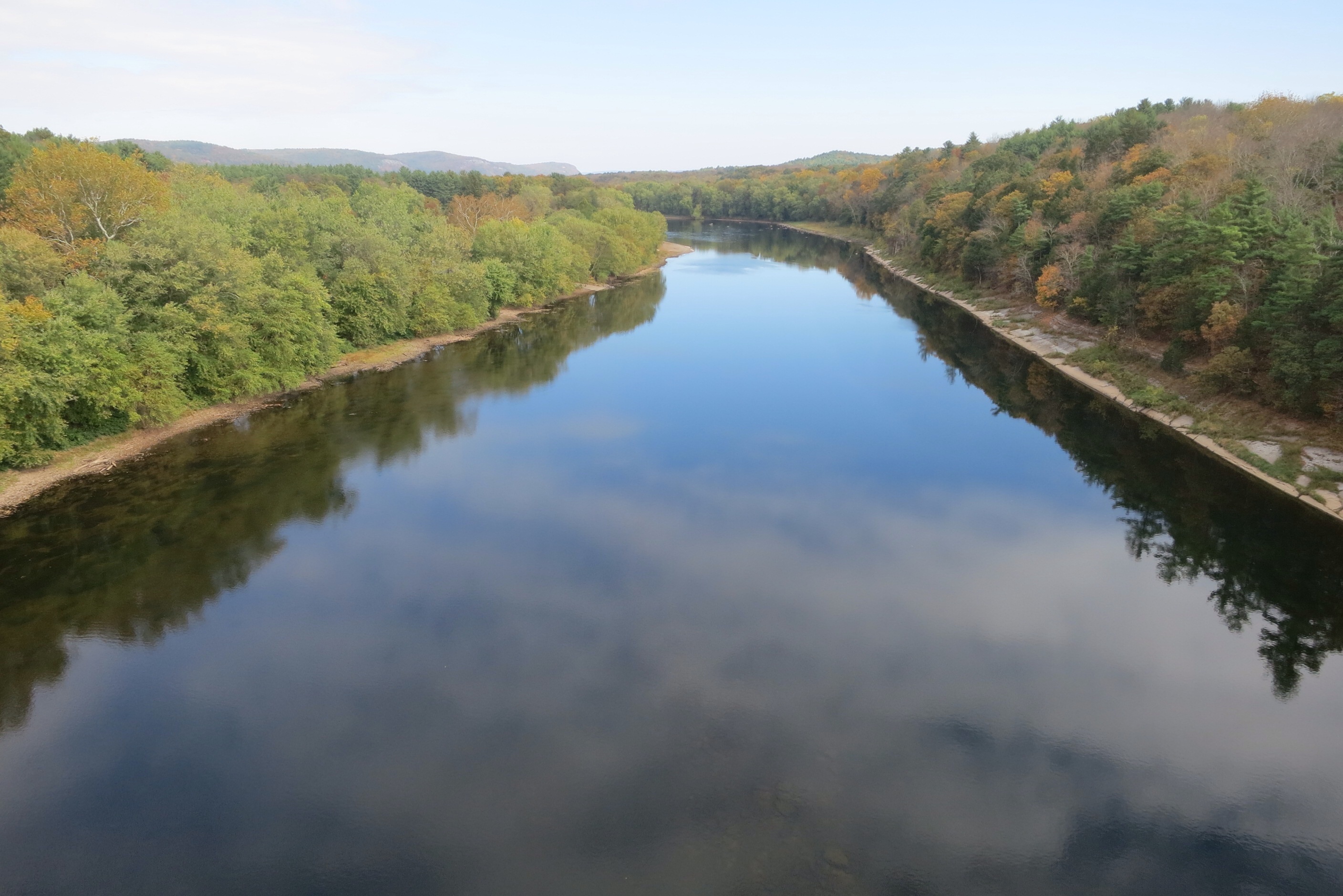
It was a beautiful crossing. Here’s a picture I took with one foot in New Jersey and the other in Pennsylvania:
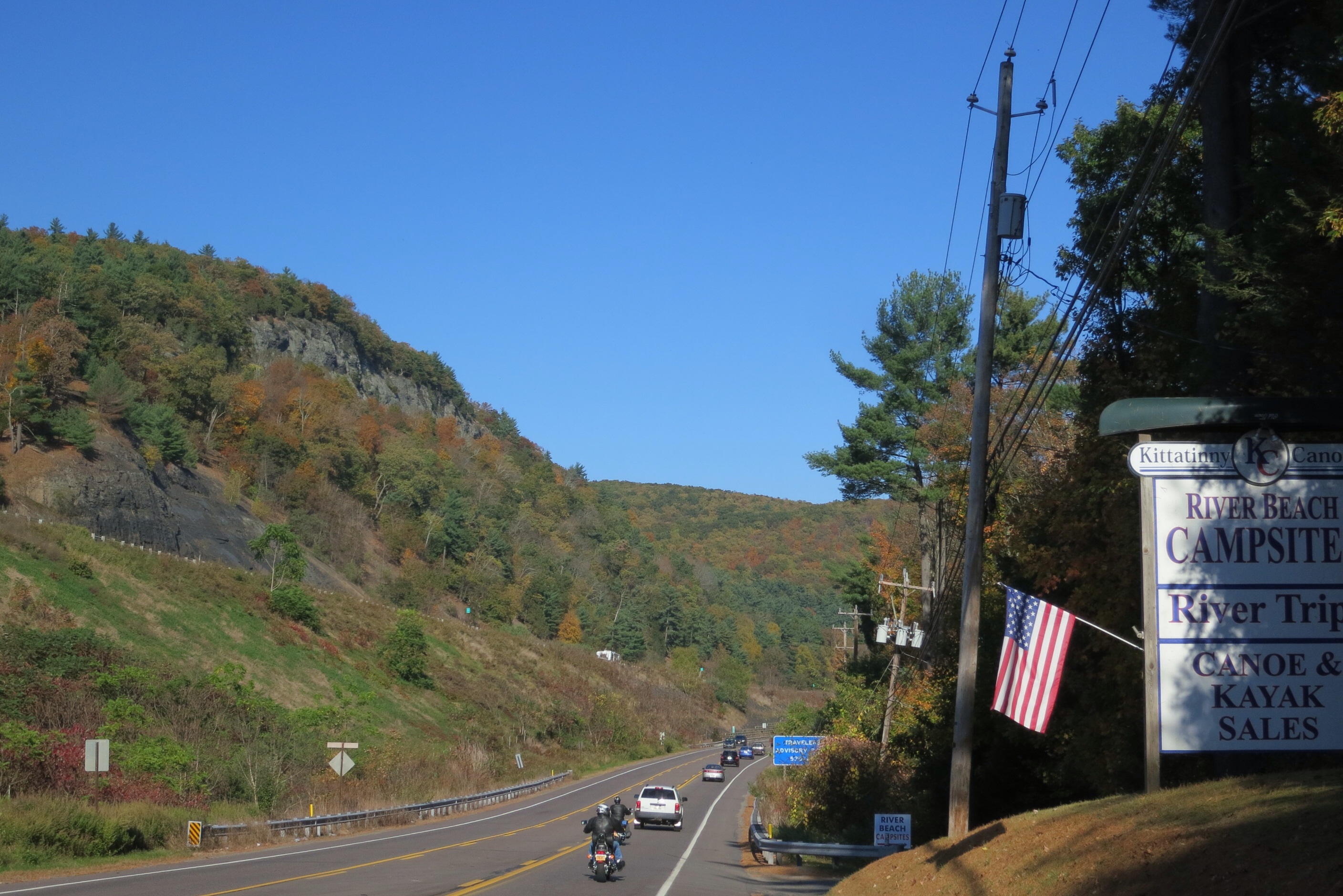
It wasn’t far to Milford, and by the time I got there the light cloud cover had lifted to reveal this very pretty town in all its autumn glory:
I stopped at a Dunkin Donuts for a slurpie (or whatever they call those things), plugged into the mains and free wifi and did a little research. It turns out that my destination campground is a gated community. The plots are privately owned and the only thing that makes it a “campground” is that its residents put RVs on their properties, rather than houses. Anyway, that was out as an option. The next segment on Route 6 after Milford is a pretty steep climb and there is effectively no opportunity for lodging — no hotels, no towns, no campgrounds, no friendly (or otherwise) farmers and bears to contend with if you just set your tent up in some random location off the highway — no thanks. So I elected to go to a nearby campground about three miles away, though in somewhat the wrong direction. I think I won’t have to backtrack tomorrow, but more of that on the Day 6 post.
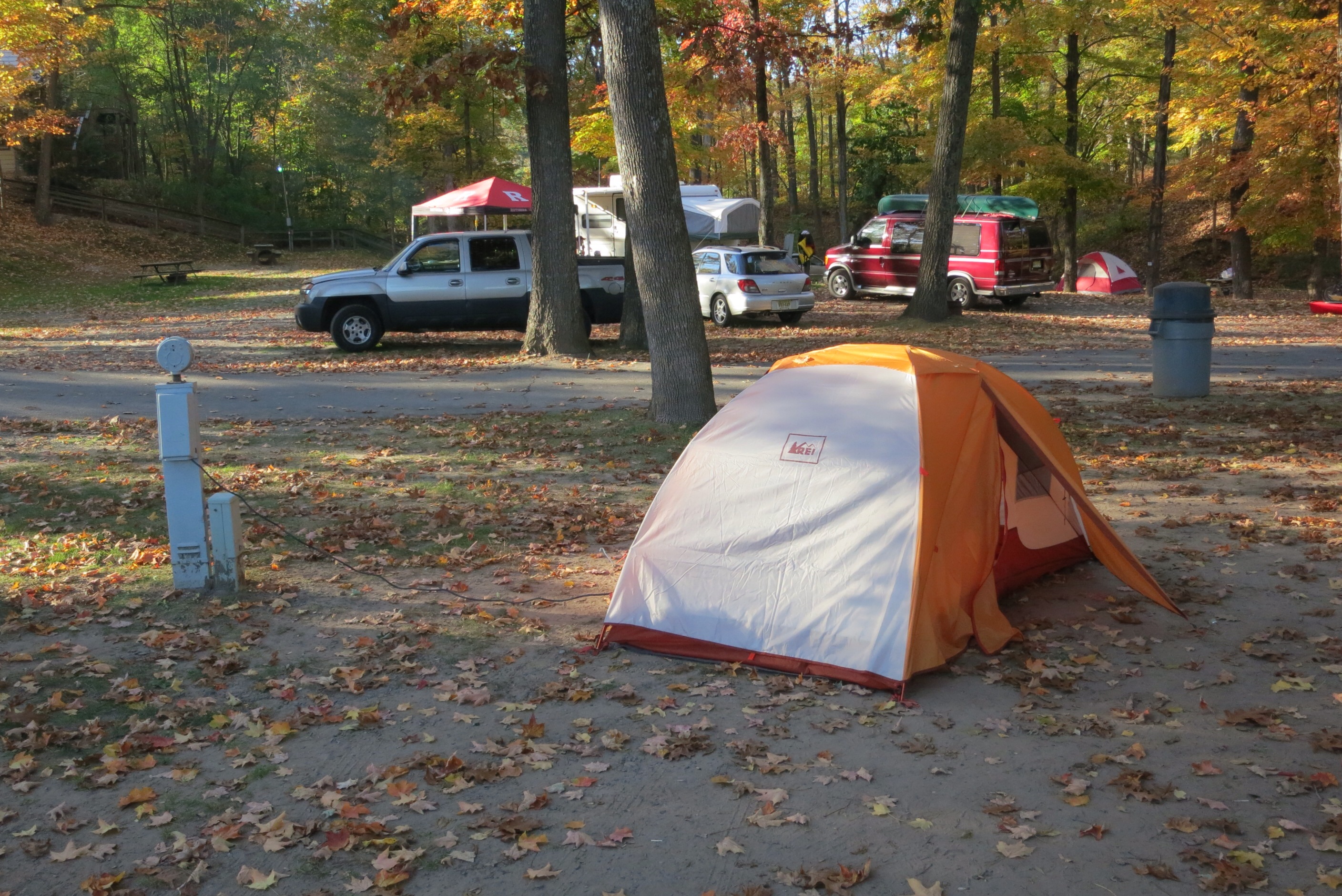
I arrived at the campground forthwith:
It is right where 209 merges onto I-84 — you can see I-84 high and in the background; the lower highway is Route 209. I hope it won’t be too noisy. Soon I was assigned a site with water and electricity ($26 for the night):
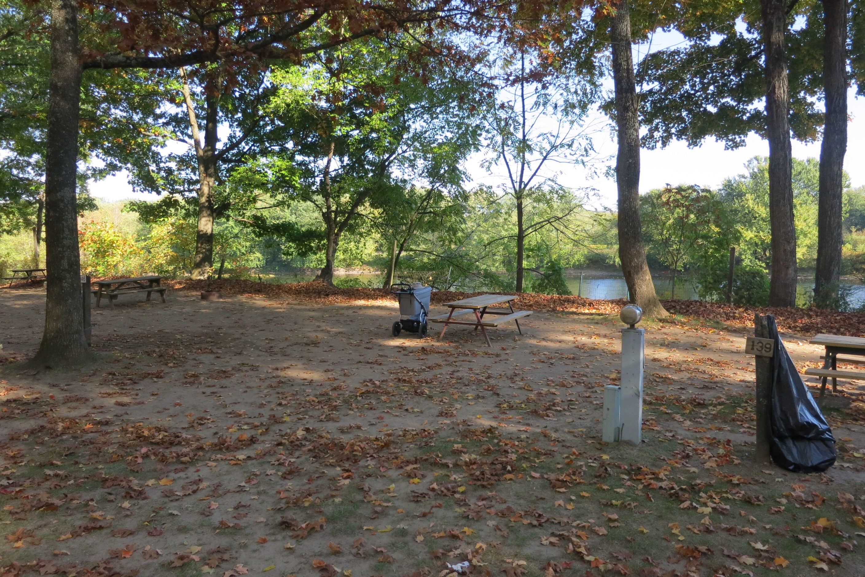
That water you see is the Delaware — yup, I’m right on the bank, practically. Lovely. Here’s a shot from my site into the campground:
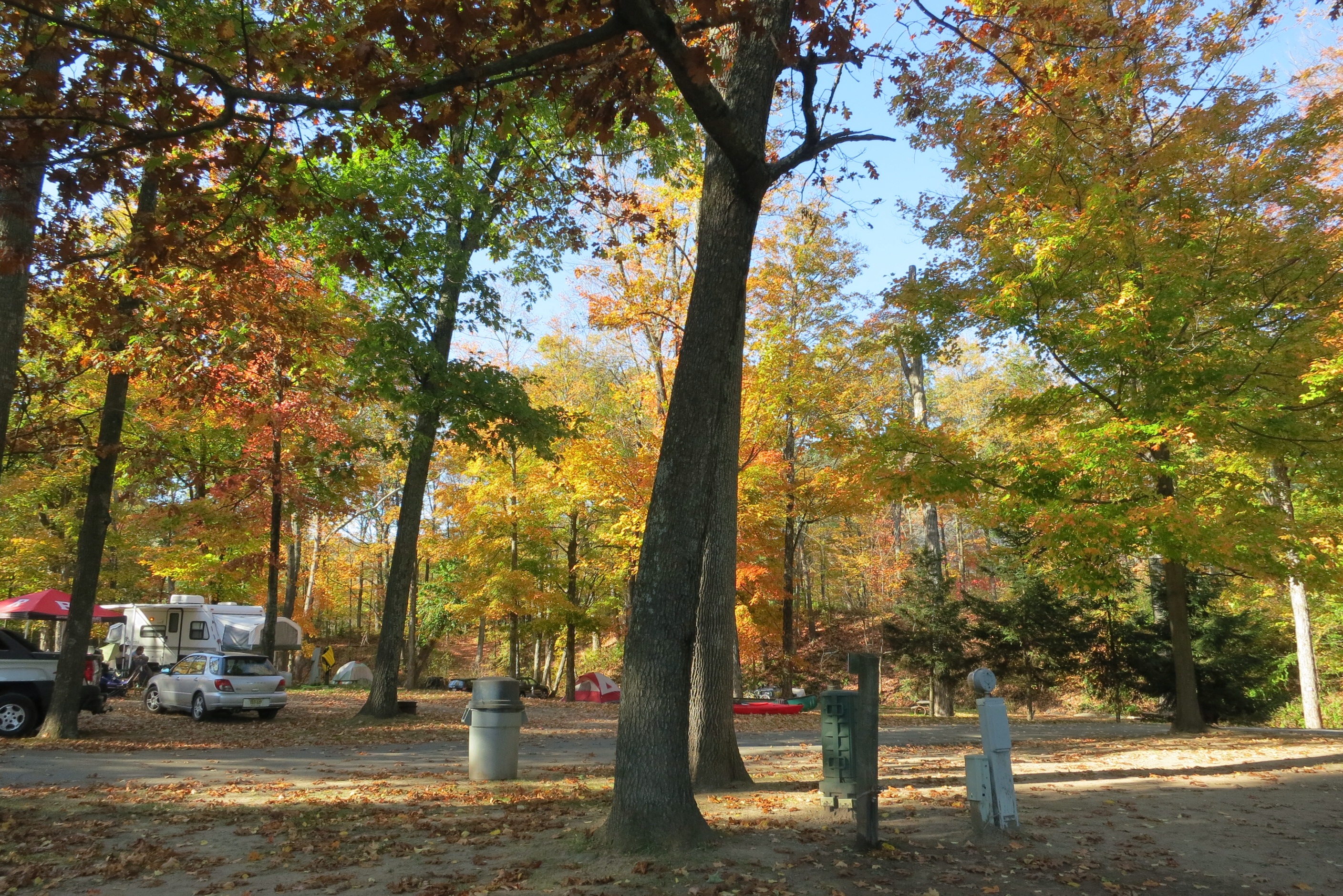
and here’s another picture looking down the Delaware:

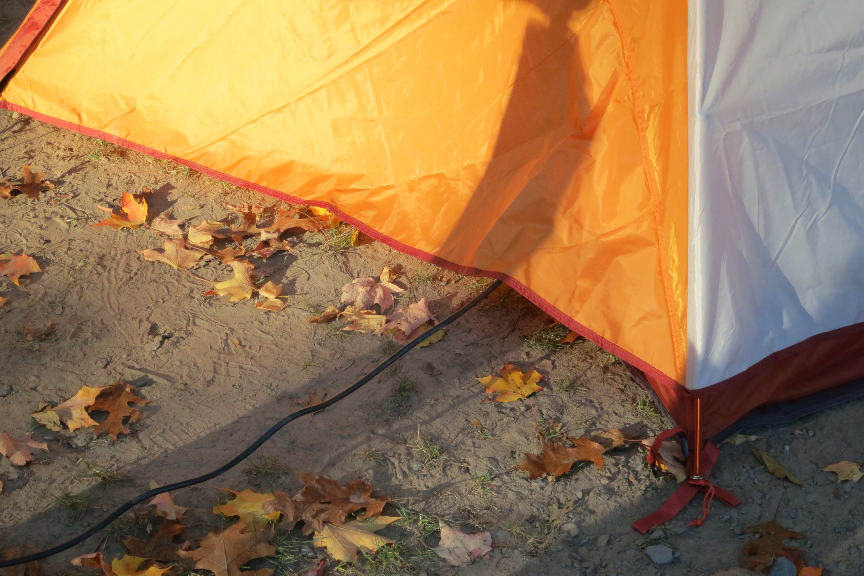
I set my tent up without making too many mistakes (I had practiced in my backyard a month ago):
Do you see the black cord snaking into the left side of this strategically placed tent? I can charge up my devices overnight. Here is a close-up:
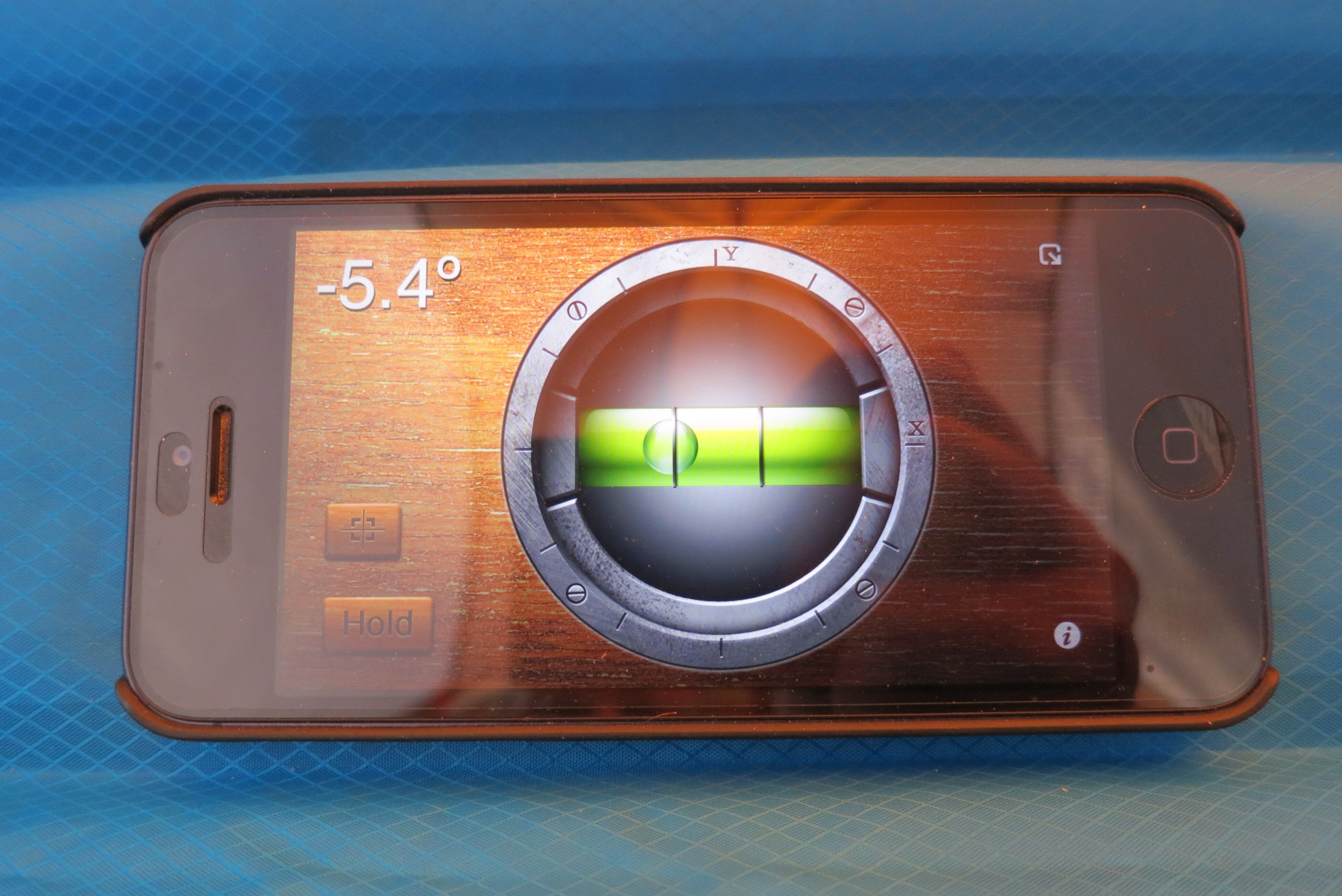
I used my iPhone level app to figure out which way to put my head:
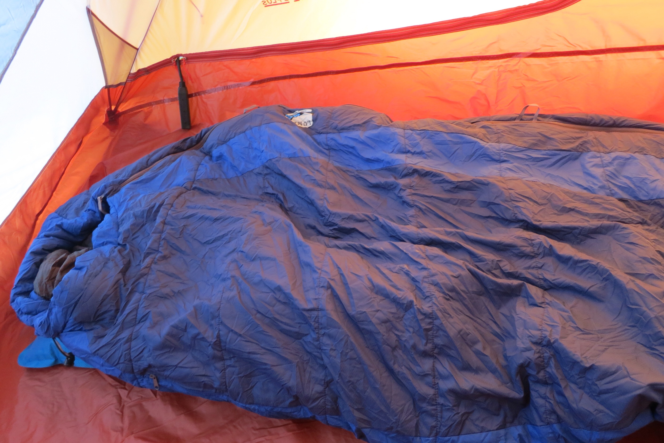
then laid out my sleeping bag, and it was as good as a hotel room!
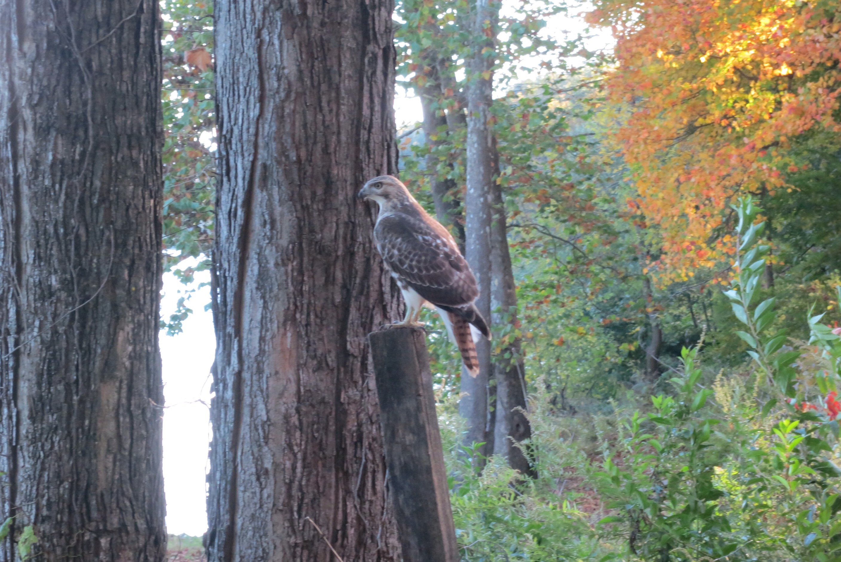
In the middle of this process, a hawk landed just 20 feet away from me on a post. I managed to snap a photo before it flew off. Anyone care to identify it?
Because of the change of plans today, I didn’t get my 15 miles done, but I will make up for it tomorrow with an 18-mile hike with a lot of climbing. I hope I’m up for it!
Total for Day 5: 8.75 miles
Total so far: 70.45 miles
Total “in the bank”: -4.55 miles (I’m in debt!)
Estimated remaining: 383 miles
Estimated date of arrival: 2013-11-07