[I have left the text I wrote from last night here, but have added the missing pictures below — please scroll down.]
Dearest gentle readers — I’m afraid I’m going to have to disappoint today. I had a wonderful, albeit chilly, 15-mile walk with essentially no human interactions but lots of beautiful scenery, so my story today must be told largely in pictures.
Unfortunately I’m in the “town” (read highway intersection) of Alpine, NY in a minuscule motel without internet. I have difficulty even convincing google maps to find it — it keeps trying to pick Alpine, NJ. Anyway under these circumstances I rely on a good cellular connection to tether my iPhone to my iPad. To compound the situation, cellular service is weak here — one bar in my room and two in the Subway across the street where I’m seated now. Apparently this is not enough to upload my pictures reliably, so after trying now for a couple of hours I am going to give up.
I thought this would happen sometime and I’m glad it hasn’t up to now. I’m thankful I have enough bandwidth at least to answer your comments from yesterday and to post this brief apology. Hopefully the situation will improve tomorrow, at which time I will fill in today’s blog post with all my pictures, including a caption contest for best caption for a funny sign I saw today.
———————————————————————-
Excellent — so it’s tomorrow (Day 17) and I have a good internet connection and now I can publish my pictures from Day 16, including the caption contest I promised.
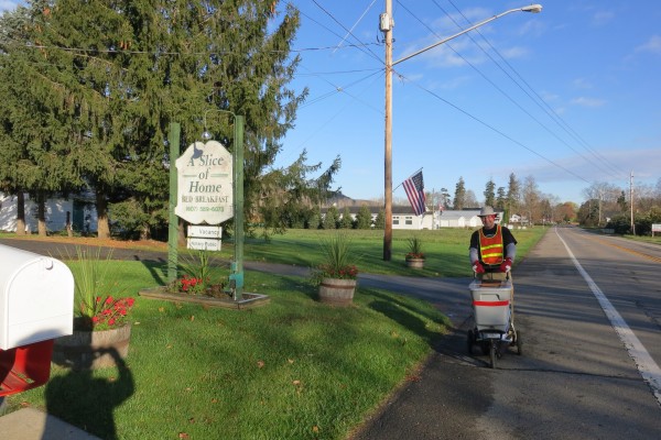
There had been rain overnight and then a hard frost but the morning was brilliant and sunny. Stirling made me a fabulous breakfast — coffee, pastries, omelette, bacon, potates — and then saw me off:
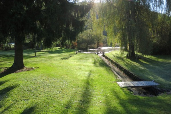
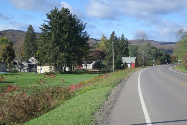
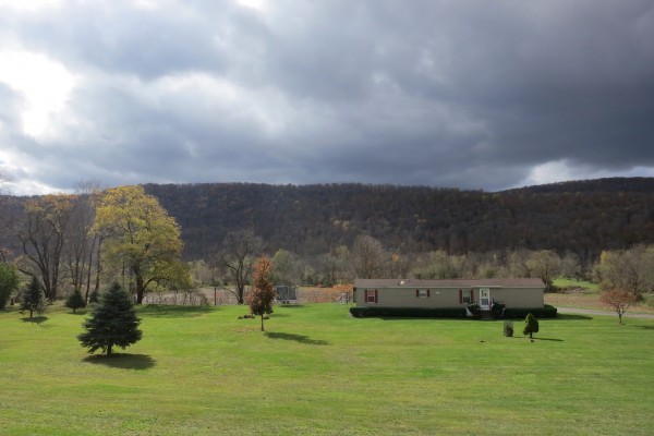
Here are a couple of shots as I walked out to the highway on that sunny, crisp morning:
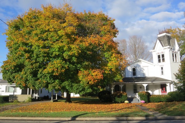
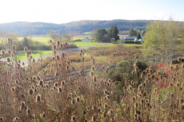
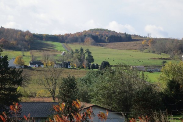
As usual, I will show some pictures I took along the way, some without comment:
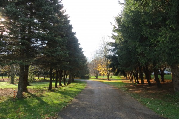
This fir-lined driveway must look magical after a snowfall:
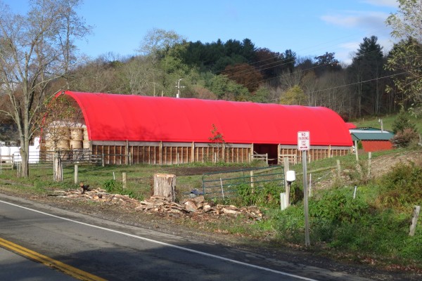
I bet this building is clearly visible in the satellite view of google maps — can anyone find it?
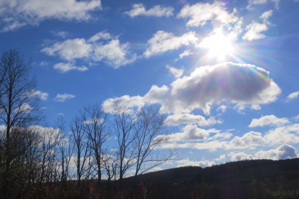
Here’s an idea of what the sky was like:
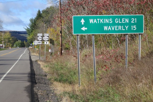
When I saw this sign I started thinking about units. The units here are miles but for me, I would like hours. So I would read this sign as “Watkins Glen 8, Waverly 5”:
I guess it’s colder on the left side of the road:
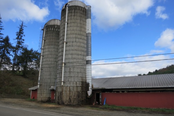
Double silo!
OK, here’s the funny sign that needs a caption. I thought of a bunch after seeing it, but I thought it would be fun to see what my readers came up with:
The sky was starting to darken, but it didn’t rain — it just got a little chillier. By the way, the solar charger that I keep on top of my bin works even with skies like this, albeit not as well:
I read this as “leaping deer, next 4 hours”:
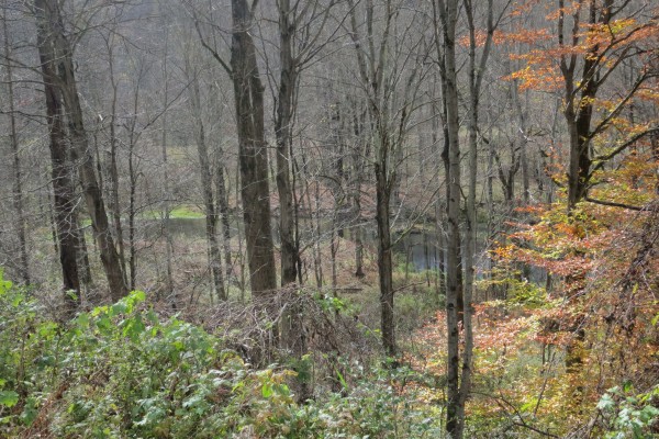
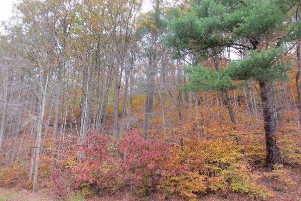
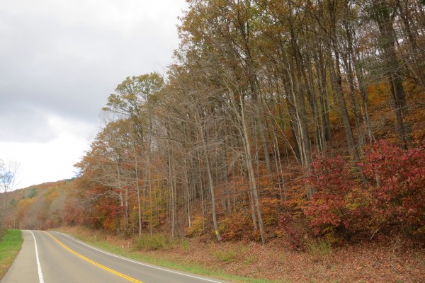
I loved the color variety here:
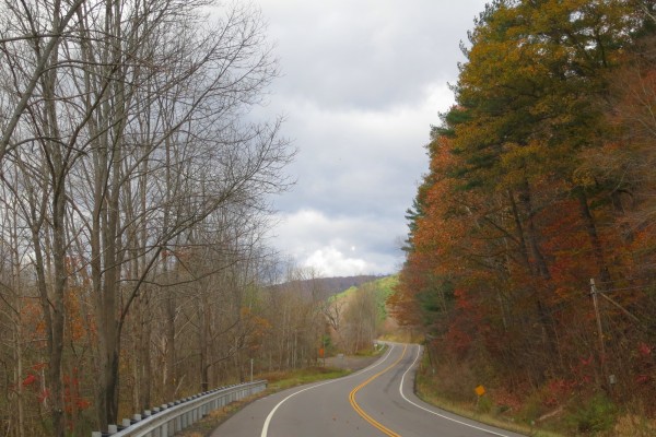
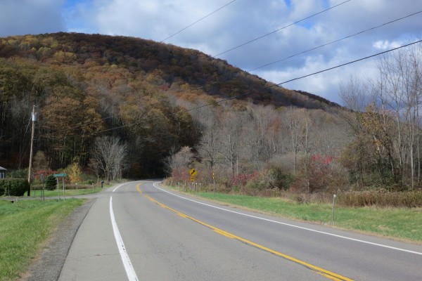
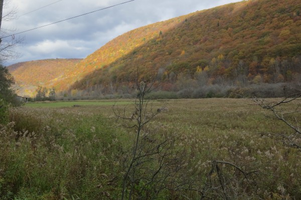
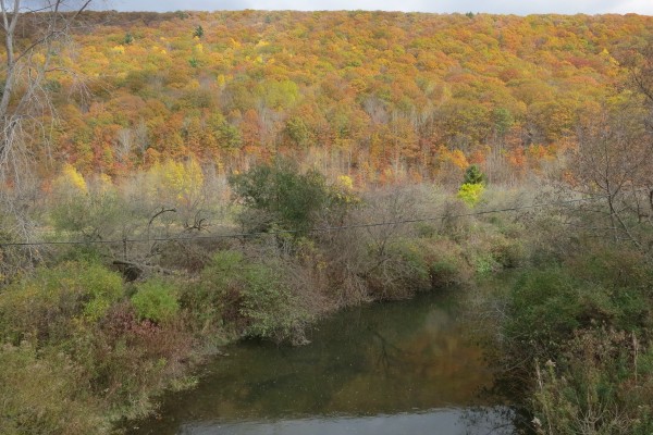
Eventually the road swung around and descended to the right into a lovely glen (Scot-speak for valley):
It’s really impossible to capture these long ridges of vibrant color; here is a weak attempt:
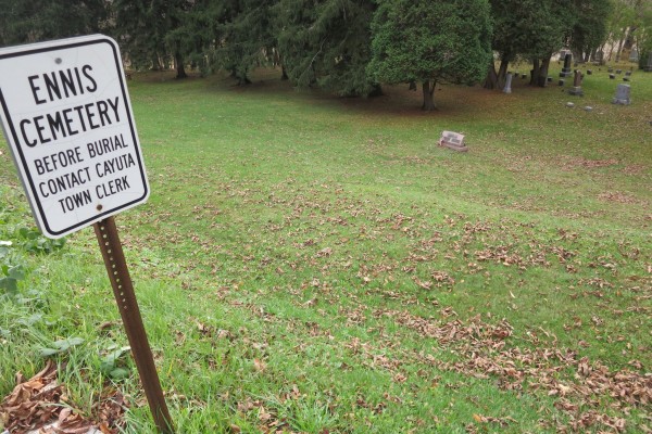
Eventually I came out of the glen and passed through Cayuta (biggest feature was a saw mill) and thence to Alpine. Here a few snaps in that last little bit:
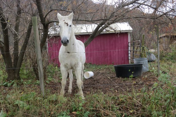
First, a seemingly neglected horse with burrs on its head:
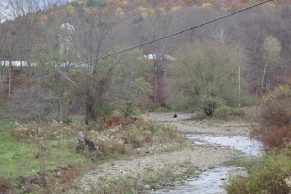
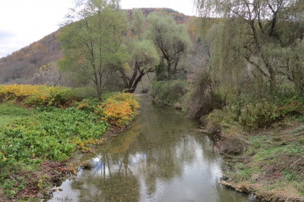
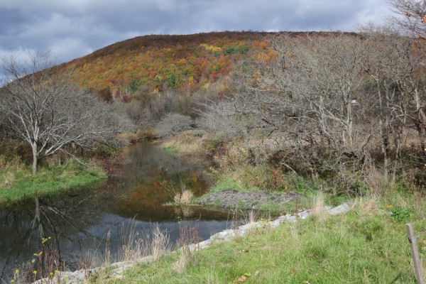
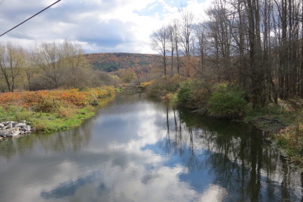
Then a few stream pictures:
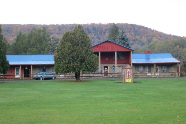
I finally arrived at this tired motel — the Redwood Inn:
As I said last night, it was very discouraging that I couldn’t get internet. I walked across the road to Subway, freezing and shivering, and it still didn’t work. I didn’t sleep well, I had another flat which I fixed at 5 AM, it was raining in the night, I was fretting about all the days left to try and find accommodation; as my wife would say, I was just being my usual Eeyore.

