Day 7

First I need to say something about last night. After quickly writing the Day 6 post (protected against the mosquitoes by deet), I retired to my tent. That was at about 18:30. By the time I had my little house set up inside I was feeling quite tired, perhaps aided by the release of tension in finding a place to stay. I lay my head down for a short nap and slept essentially until morning — longest sleep I’ve had in a very long time.  Here’s a picture of my setup just before I retired (I forgot to post this yesterday):

image

Well it wasn’t uninterrupted sleep. I did wake up a couple of times with howling off in the distance. I don’t know what it was — wolves? coyotes? but I was a little scared. I rooted around in my bin and got out my Fox 40 whistle (thanks Ken!) and my pepper spray (thanks Paul!) and hung them around my neck. It occurred to me that there were no humans nearby and I felt quite isolated and exposed. At another point in the night I thought I heard some small animal noises nearby.

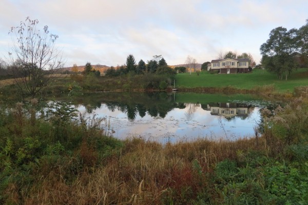
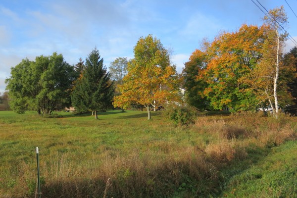
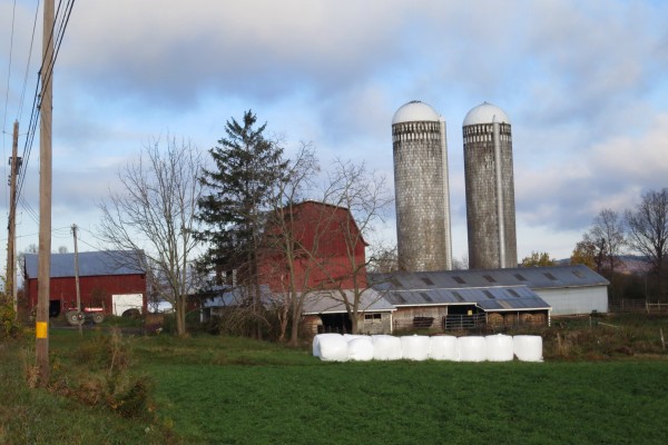
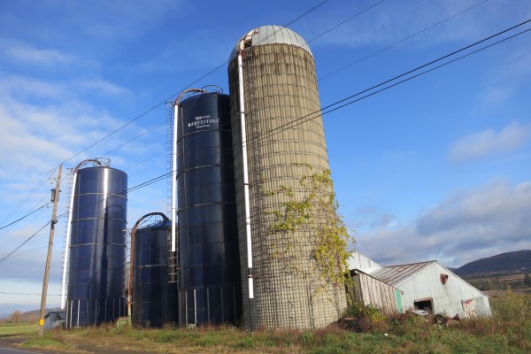
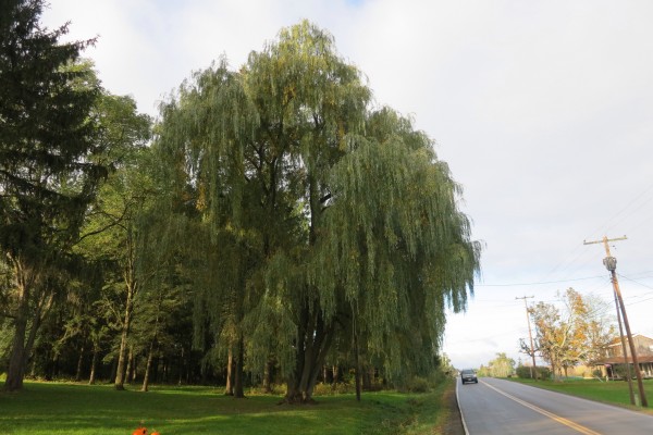
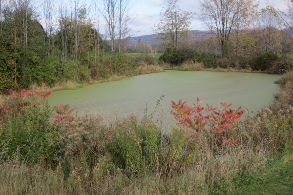
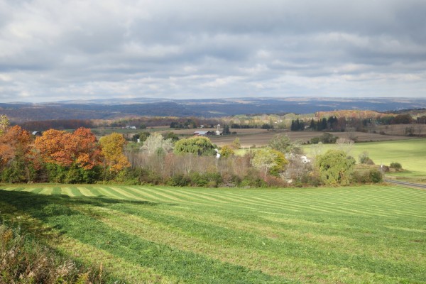
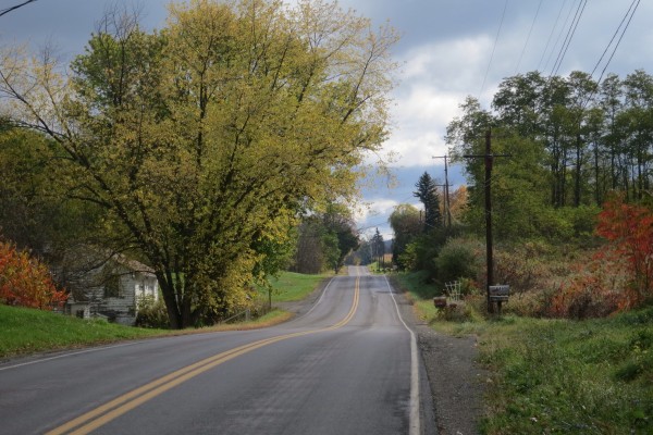
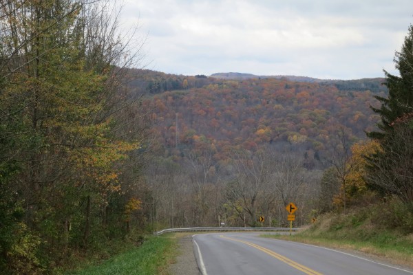
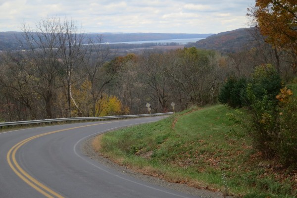
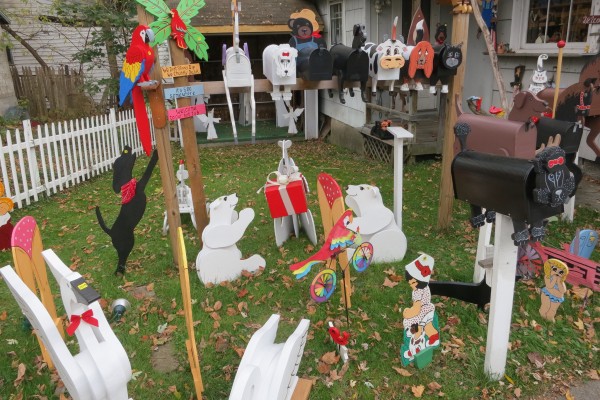
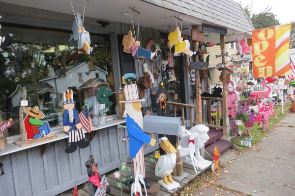
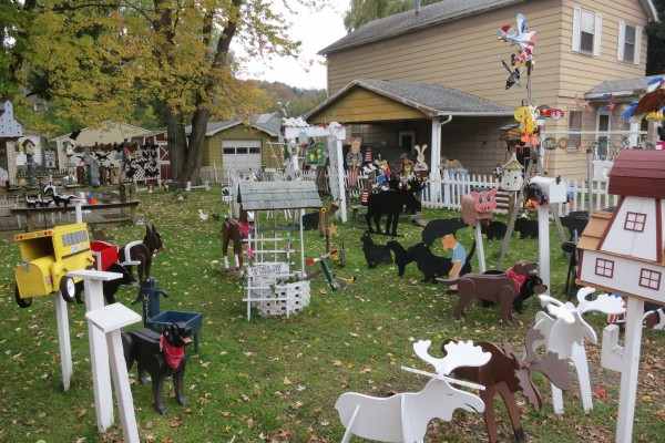
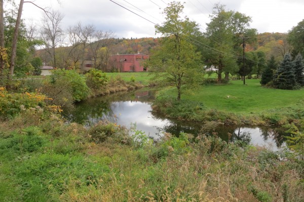
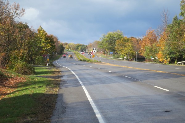
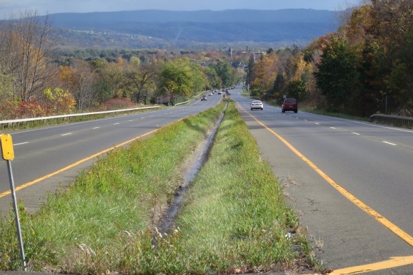
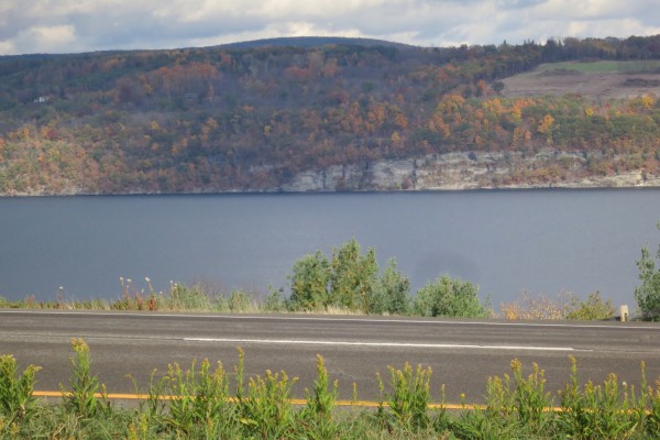
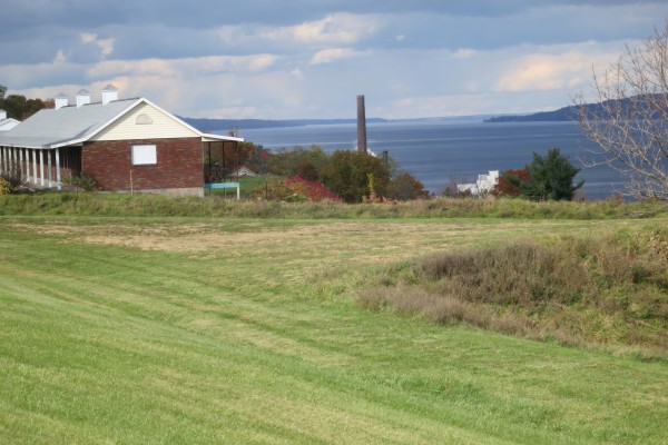
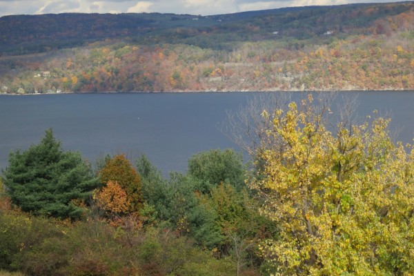
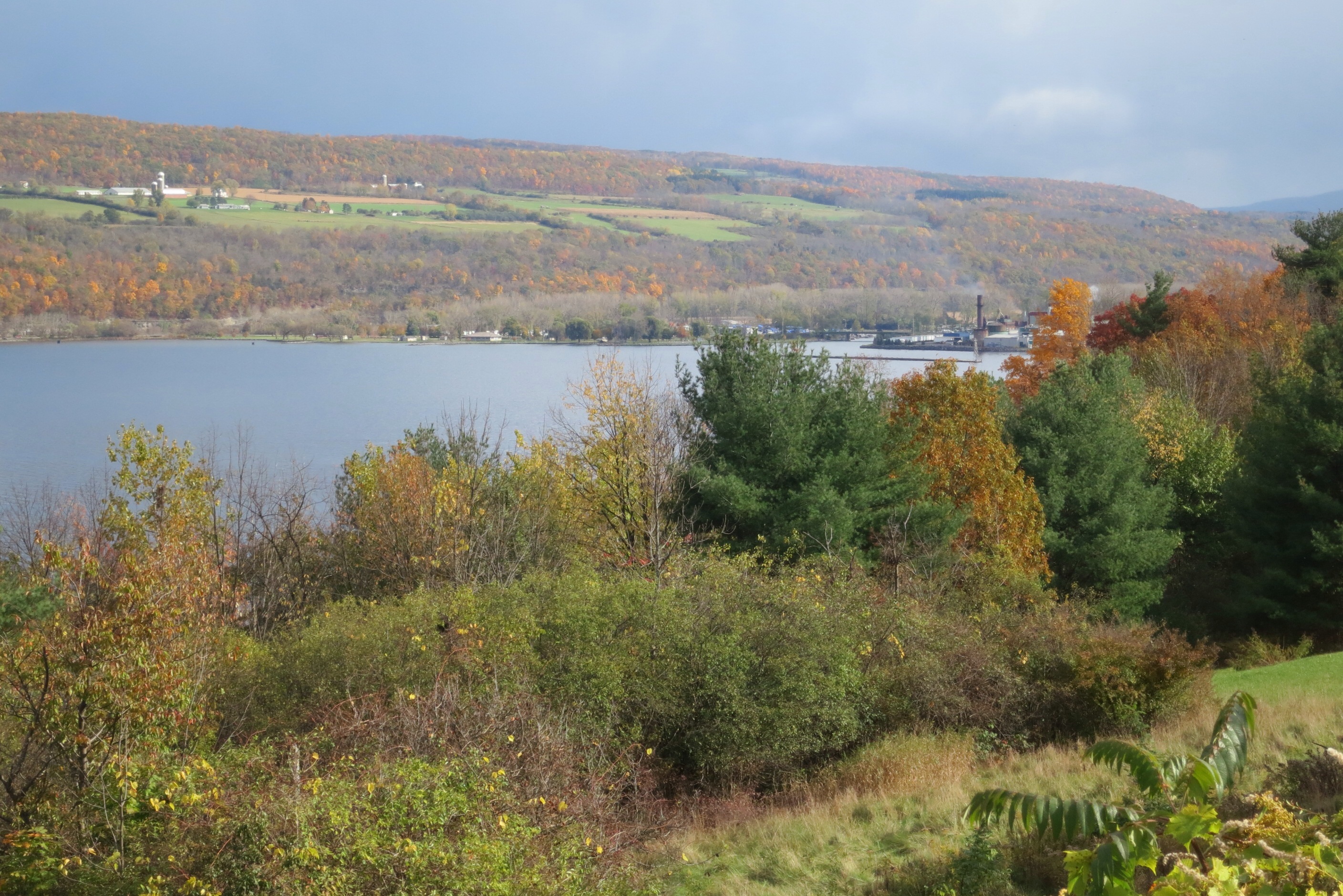
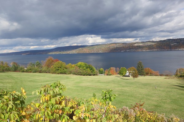
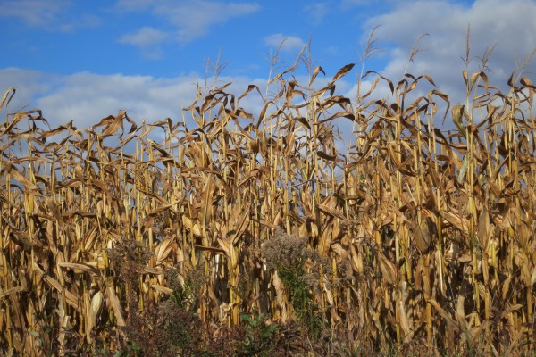
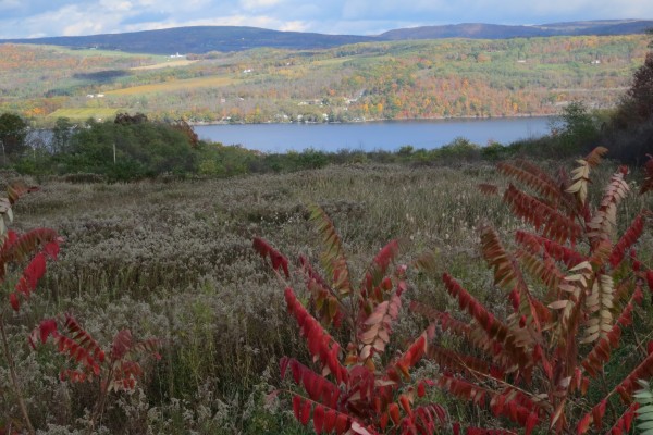
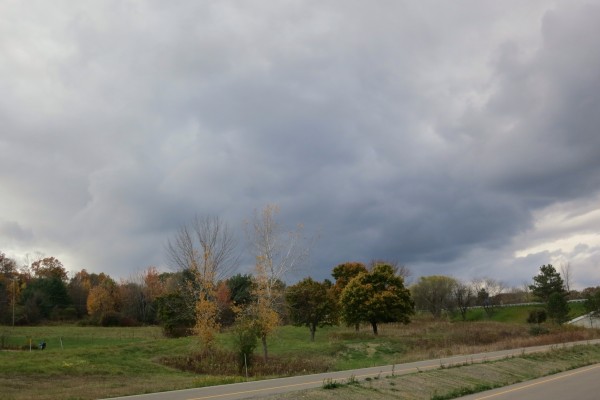
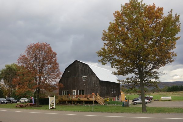
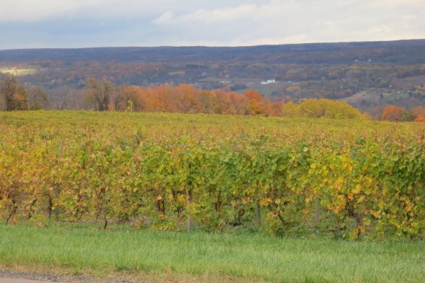
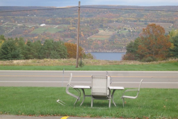
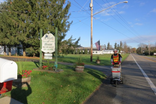
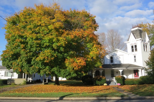
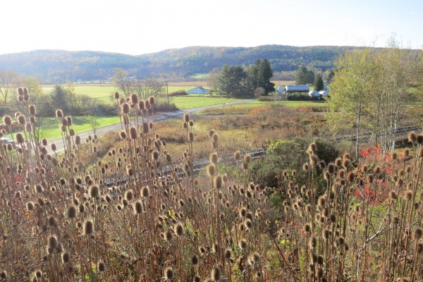
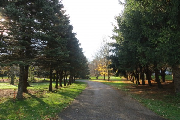
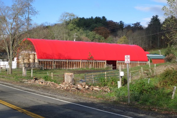
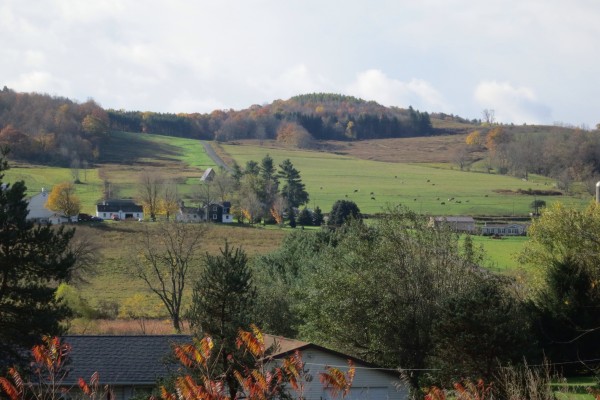
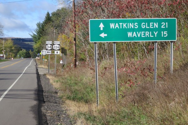
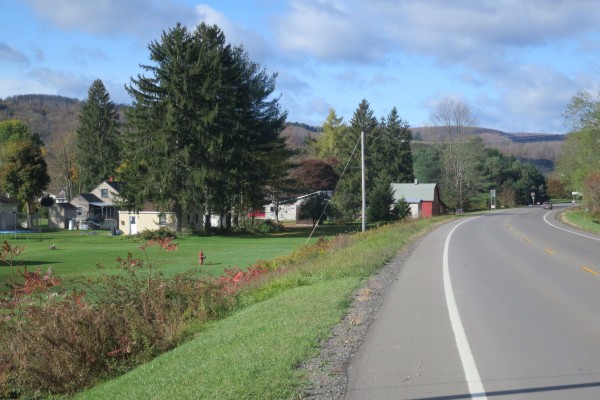
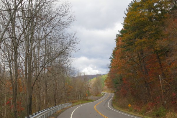
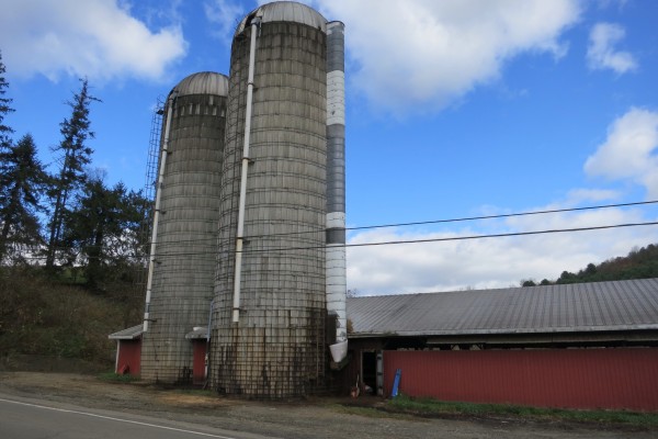
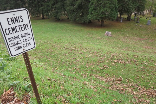
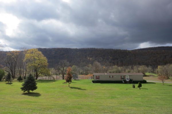
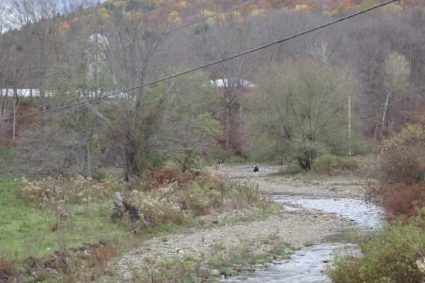
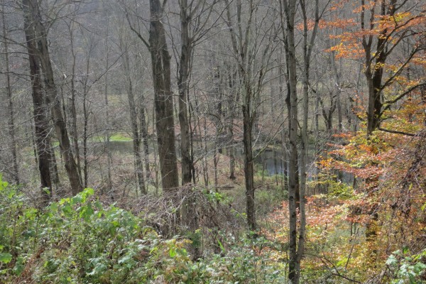
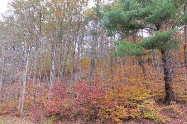
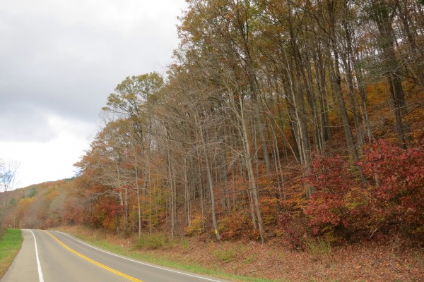
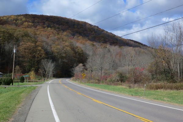
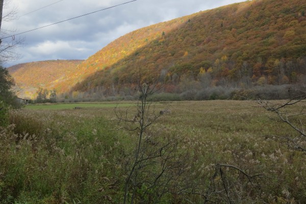
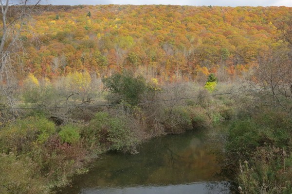
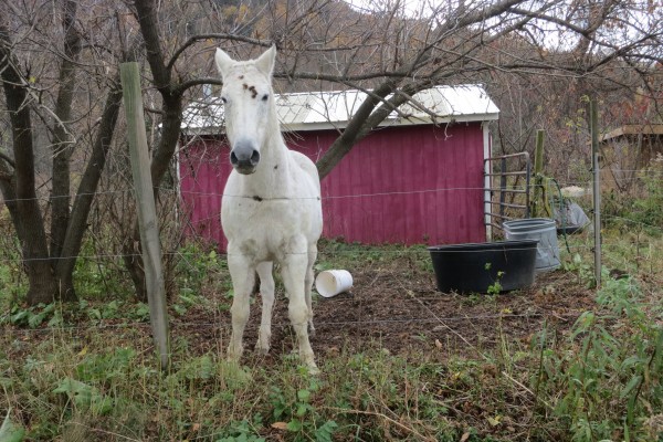
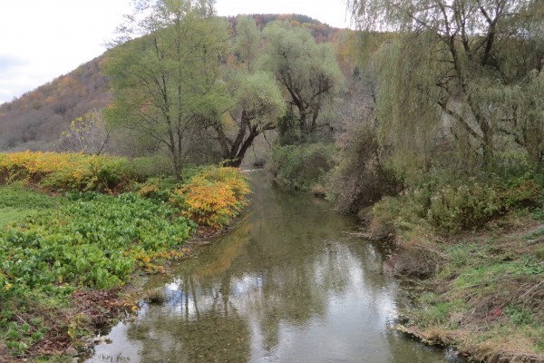
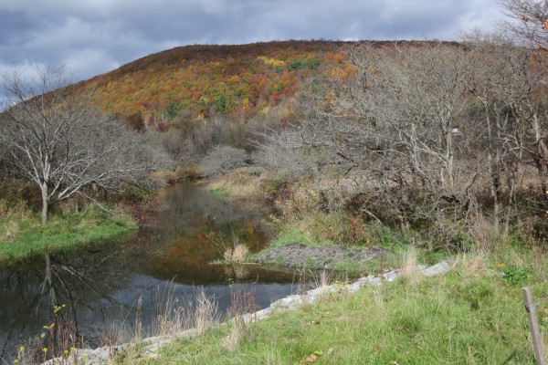
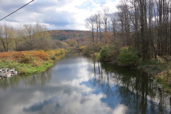
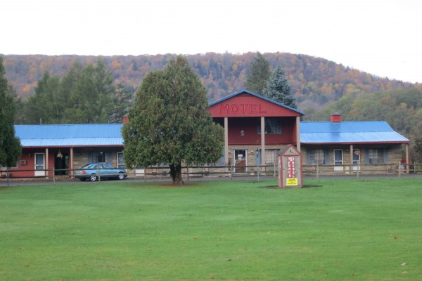
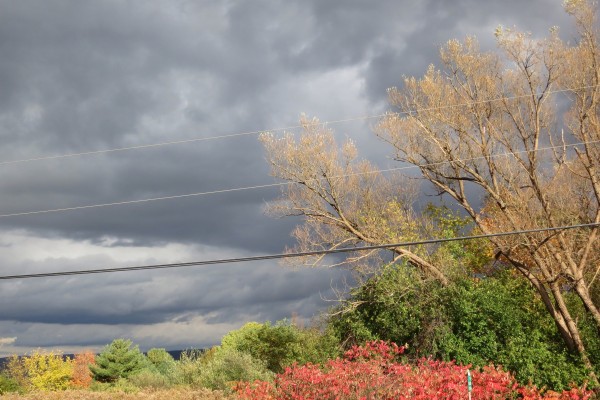
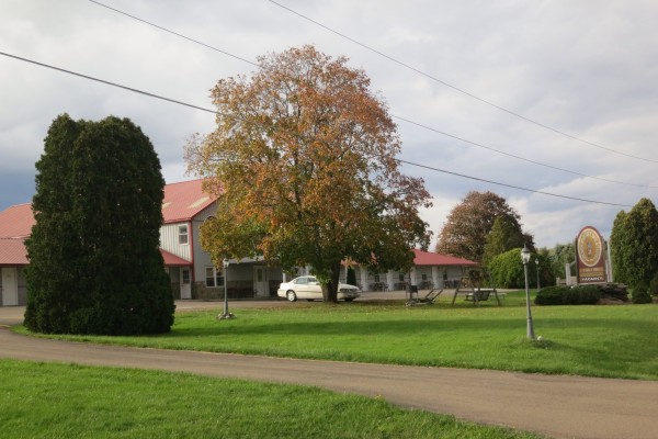
Anyway, the morning light was welcome and it didn’t take me long to deconstruct my camp. I was on the road shortly after 08:00. I spent all day on Route 6. It was very pleasant, with lots of ups and downs (though nothing, I suspect, to what lies in wait when I cross the Pocono Mountains). Here are a few random snaps:

image

image

image

image

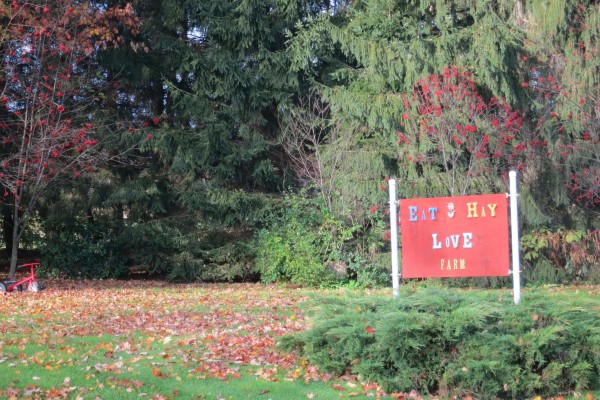
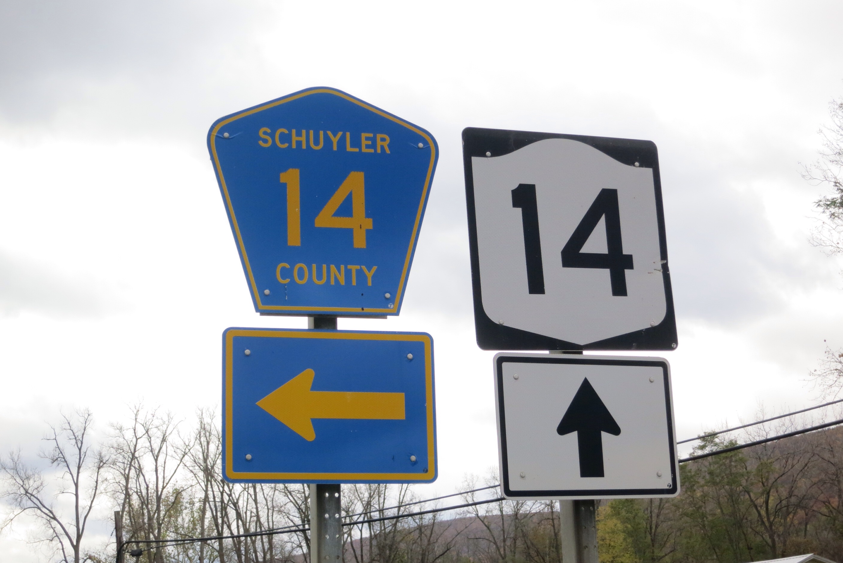
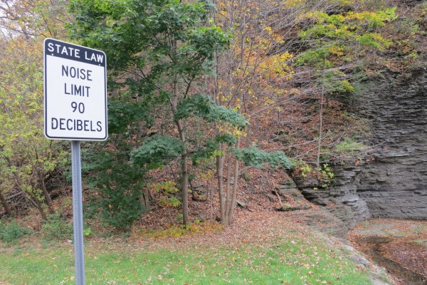
At one point I passed this sign — the only one of it’s kind that I saw:
image

Shortly thereafter I saw this little monument (roughly where the cart is in the first picture):
image

One suspects that cyclist Steve Head lost his life here because of a careless motorist. I wasn’t able to find anything on the internet about it. The date on the simple monument was 2005-04-22. It made me sad for a little while, especially thinking about Tom Samson, my son’s best friend, who died last year in such an accident.

On a lighter note, here’s an honest sign:

image

My goal for today was to get to Hawley — about 15 miles. It’s amazing how dirty and smelly I was getting camping, no showers, absorbing road dust. So I decided that I would get a hotel and clean up. I tried to make a reservation on the way but the first place I called was closed on Tuesdays (!) and recommended a B&B, which didn’t respond to my calls. But I headed there, via google maps, anyway. I knew I was getting close when I saw Lake Wallenpaupack:

image

Coming out of the northern end of the lake is this monster pipe:

image

It’s easily visible in google maps satellite view, but I couldn’t figure out what it was for.

Anyway, I finally made it to the B&B just as my front tire got a flat! I knocked on the door and no one answered. Two blows at once. I realized that I couldn’t do anything without a working tire so I set to work repairing it. I had a spare tube and a repair kit with me but it was quite hard. It’s difficult getting a small tire off a rim and it’s even harder getting it back on. I probably didn’t have the right tool. I think I may have pinched the new tube because it wouldn’t inflate. OK, I thought, trip scuttled. Call Fiona and get a ride home — there can’t possibly be a cycle shop in this remote place.

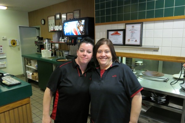
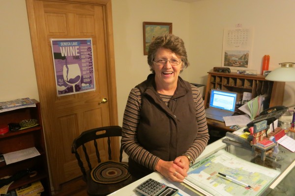
However, I decided I would limp along to a hotel anyway. After calling around a bit I found one quite close to where I was — the Ledges Hotel. I managed to get there and found out almost immediately that there are two cycle shops in town. I was ecstatic and took this picture of the reception crew:

image

So I took a shower — never more welcome! — and headed over to the Settler’s Inn, the MUCH more expensive sister hotel to the Ledges. After a lovely burger and bowl of soup I was feeling pretty good! I had solved four problems: busted inner tube (hopefully tomorrow), dirtiness, homelessness and hunger! I have decided to take a day off from walking tomorrow to get the tire fixed and to do laundry. Besides it’s supposed to rain the next two days; might as well only walk in one of them.

By the way, Matthew has added a couple of new features to the MAP tab. It should show my route so far in alternating colors and then a blue line from where I am to my destination, as computed by google maps. Also, I now have an app on my iPhone that when I press a button a text message is sent to a phone of Matthew’s which he processes with a Perl script and automatically shows my location on the map. I shall try to press that button periodically. It would be nice if I had an app that could do that automatically at a specified frequency. If no one knows of such an app, maybe someone could write one. Ches?

Day 6

I spent the whole day, with one small exception, on Route 6 today.  It was hilly so I got some good exercise going up up up from the Delaware valley.

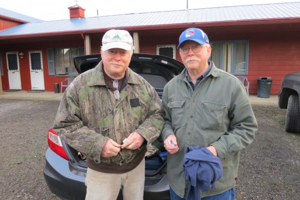
Before leaving the campground behind, however, I should mention that after finishing my blog entry yesterday I met my neighbors on either side of me. Here is a picture of Dwayne and Stacy:

image

I didn’t get a picture of Sultan and Mina. Both couples fed me, so I didn’t have to subsist on bars and dried fruit. I had pizza, hot dogs, garlic bread, grilled chicken gizzards — quite a feast. Thank you to all four of you!

Dwayne works for a retail company I won’t name on high retail crime, basically organized crime shoplifting. Who knew there even was such a thing. Stacy sells pre-fab green houses. Sultan is a construction project manager in Queens and Mina is a home care companion. So interesting to meet these people.

It was well past dark when I finally crawled into my tent. Ear plugs blocked out the sound of I-84 and two long-sleeved shirts kept me warm
in my three-season sleeping bag.

I was off by about 9 AM; the temperature was 46 degrees but that was fine — great for walking! I took a few pictures as I walked back through Milford (yes — three miles of backtracking, for a total of six miles to get back to where I had been yesterday at the Dunkin Donuts).

It’s quite a pretty town:

image

image

with some interesting street art:

image

image

image

a multi-purpose building:

image

and a garage for antique cars:

image

The one exception to Route 6 today was a short stretch on the outskirts of Milford that cut off a curve of Route 6 and that had no traffic on it — quite delightful compared to the whole rest of the day with cars whipping by. The road less traveled goes to the left in this picture:

image

I saw a little stump sculptures on this stretch:

image

image

Not much happened the rest of the day. My legs are getting stronger, I think, and vaseline on my feet helped as well. In the afternoon I stopped at the only eatery on the trip — the 6 West Bar and Grill:

image

It turned out that the barmaid:

image

lives in Hopatcong and I walked right past her house before beginning my mini-adventure the other day. She remembers the Devil’s Footprint very well from her youth and wasn’t surprised to hear that there were beer cans strewn about. We had a nice chat about my walk and they gave me a 6 West Bar & Grill t-shirt, which I wore for the rest of the day.

As I refreshed myself with a Guinness on tap, another couple at the bar suggested that I was just three miles from a place I could camp — a state park. I had been a little worried about where I would stay tonight so I was glad of this news. With high spirits I headed for the park only to find a “Strictly No Camping” sign — sigh. There is not much around here so I started to think I was going to have to walk another 15 miles to Hawley, arriving after dark — bad idea.

However, after another mile or two I saw some pickup trucks pulled into the Lone Pine Hunting Club:

image

image

I went up to the first one I saw and found myself talking to David, the president of the club. He and the vice-president, Joe, were just packing up to leave and had no problem with me camping on the property. They warned me to tie my food up before retiring, due to the presence of bears!

So here I am basically in the middle of nowhere, hoping I sleep most of the intervening time until sunrise.

Total for Day 6: 14.91 miles
Total so far: 85.36 miles
Total “in the bank”: -4.64 miles
Estimated remaining: 371 miles
Estimated date of arrival: 2013-11-07